Route Planner - Map Layers
The Route Planner Tool has the ability for a number of key information layers to be overlaid onto the base map. This allows an operator to display additional data for their planned journey, including approved heavy vehicle networks, Road Manager boundaries and other points of interest.
Select a network layer
Select the ‘LAYERS’ tab to display a list of vehicle categories that have available network route information.
To view, click on the checkbox for the network route layer which will then appear over the base map.
Some layers will require the map to be zoomed in before the layer will be displayed.
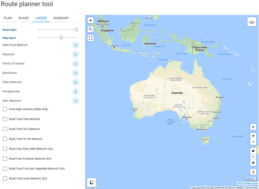
Other Network Layers
The ‘HML (ACT, NT, QLD, TAS only)’ network information is used in conjunction with a combination vehicle type to determine the full network available (incl. conditions of access applicable) for a particular HML combination.
EXAMPLE
A HML Road Train combination 36.5m long will need to have both the HML & Road Train 36.5 Networks turned on:
1. Only roads shown approved for both layers can be used.
2. Roads marked as HML approved only, can only be used by a smaller combination.
3. Roads approved for Road Train 36.5 only cannot be used at HML.Other Non-Network Map Layers
There are additional layers that are not approved heavy vehicle networks, but assist in planning a route:
1. The State Road Network layer shows all roads under the control of a State Road Authority.
2. Known heavy vehicle bypasses are available as a separate layer.
3. Key transport points for planning fatigue breaks and delivery locations.
4. Various boundaries can also be added.Display additional layer information
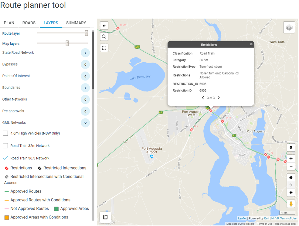
Select the layer to view the legend.
Zoom in on the map and select the section of the route to view the related restriction/condition information.
Where there is information for multiple layers, use the left and right arrows to scroll and view.