Difference Between OpenStreetMap and NHVR Maps!
If you are new to the National Spatial Program and you don't quite understand yet the difference between OSM and NHVR Maps (formerly called Way2Go) then read on...
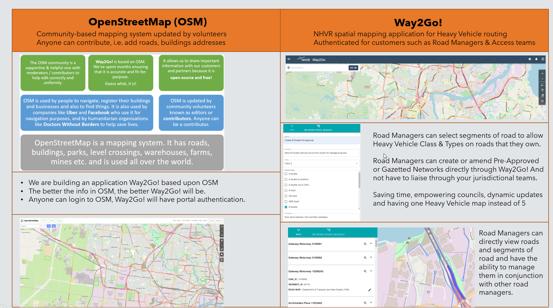
OpenStreetMap is a community built, free and rich global map with features on it such as rivers, buildings, roads and countries. Out NHVR Maps application is built using OSM as its base. Therefore we can authenticate NHVR customers into our NHVR Maps app, can build and display Heavy Vehicle networks onto it and we can create awesome and useful tools such as manager road ownership, update networks and collaborate on joint projects.
NHVR Maps is for our NHVR customers and also can be viewed by the transport industry and the public to understand where trucks are allowed to go.
Step-by-step guide to using OpenStreetMap
- Go to openstreetmap.org
- Register as a contributor / editor. You can follow instructions here if required.
- Add addresses, areas, buildings and check the area where you live
- Remember, this is a map for everyone so your changes will be useful to the general public